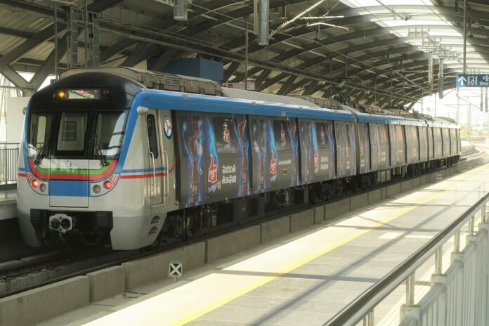
HYDERABAD (Metro Rail News): Hyderabad Metro Rail Project is going to progress as Hyderabad Airport Metro Limited (HAML) will commence underground utility mapping for Phase 2’s Corridor 6, which extends the existing green line between MGBS and Chandrayangutta in the Old City. The corridor spans 7.5 km.
This utility survey will involve both road-cutting and non-destructive probing at the proposed station sites to identify existing underground infrastructure. The 7.5 km corridor traverses Mir Alam Mandi Road and will include station stops at key locations such as Salarjung Museum, Charminar, Shalibanda, Aliabad, Falaknuma, and Chandrayangutta.
HAML intends to engage a contractor to carry out the utility probing between Darulshifa and Chandrayangutta. Upon finalisation, the appointed contractor will be allotted 30 days to complete the task.
The survey will utilise ground-penetrating radar technology to map underground utilities at depths of 5 to 6 meters.This data is crucial for minimising disruptions to essential services, including water pipelines, drainage systems, electricity, and telecommunication cables during the construction phase.
According to HAML officials, the objective is to facilitate the smooth execution of metro work while ensuring minimal interference with existing infrastructure.
To get real-time updates on metro and railway tenders, join our WhatsApp Community https://chat.whatsapp.com/FhRoGfM8zUl4secYj1ZQDT


